Search by topic:

Did you know that since the first public experiment in France 1783, balloons have been heavily used for science and math research?
Balloon-generated imagery falls from an elevation that is between satellite and aerial imagery - high resolutions at a fraction of the drone cost. Together with data modelling, maybe balloon imagery can help model insurance risks more closely for property, land, environment?
The recent partnership between Arturo.ai and Nearspacelabs.com thinks this is at least one use case worth exploring.
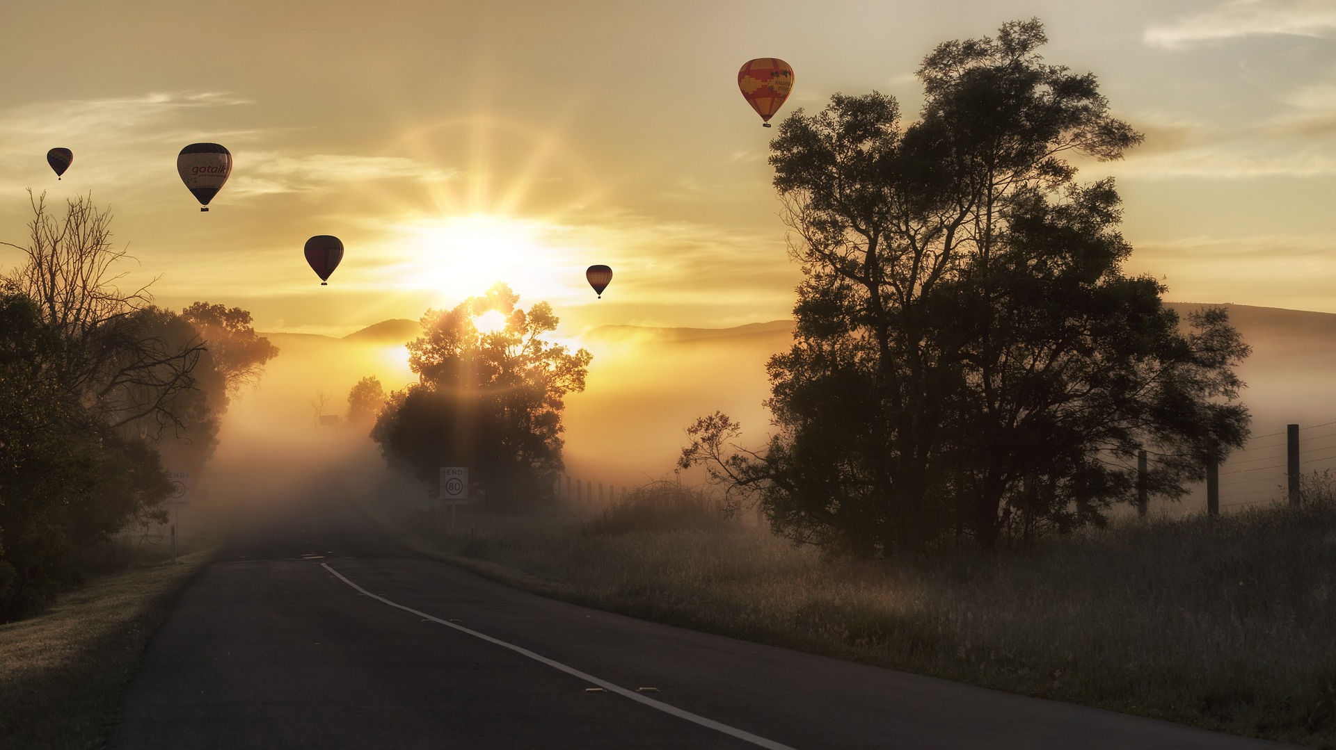
image credit: Cindy Lever, Pixabay